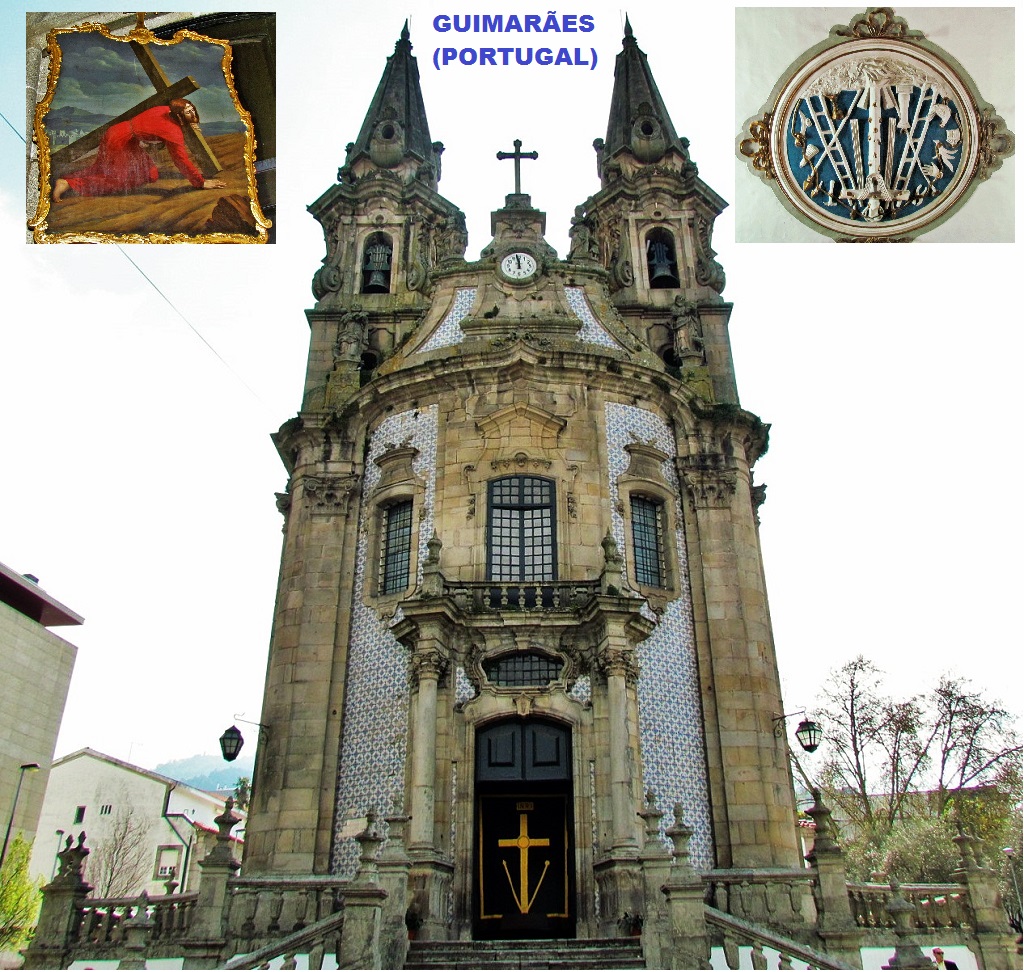
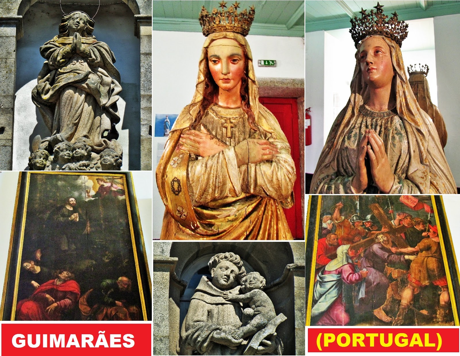
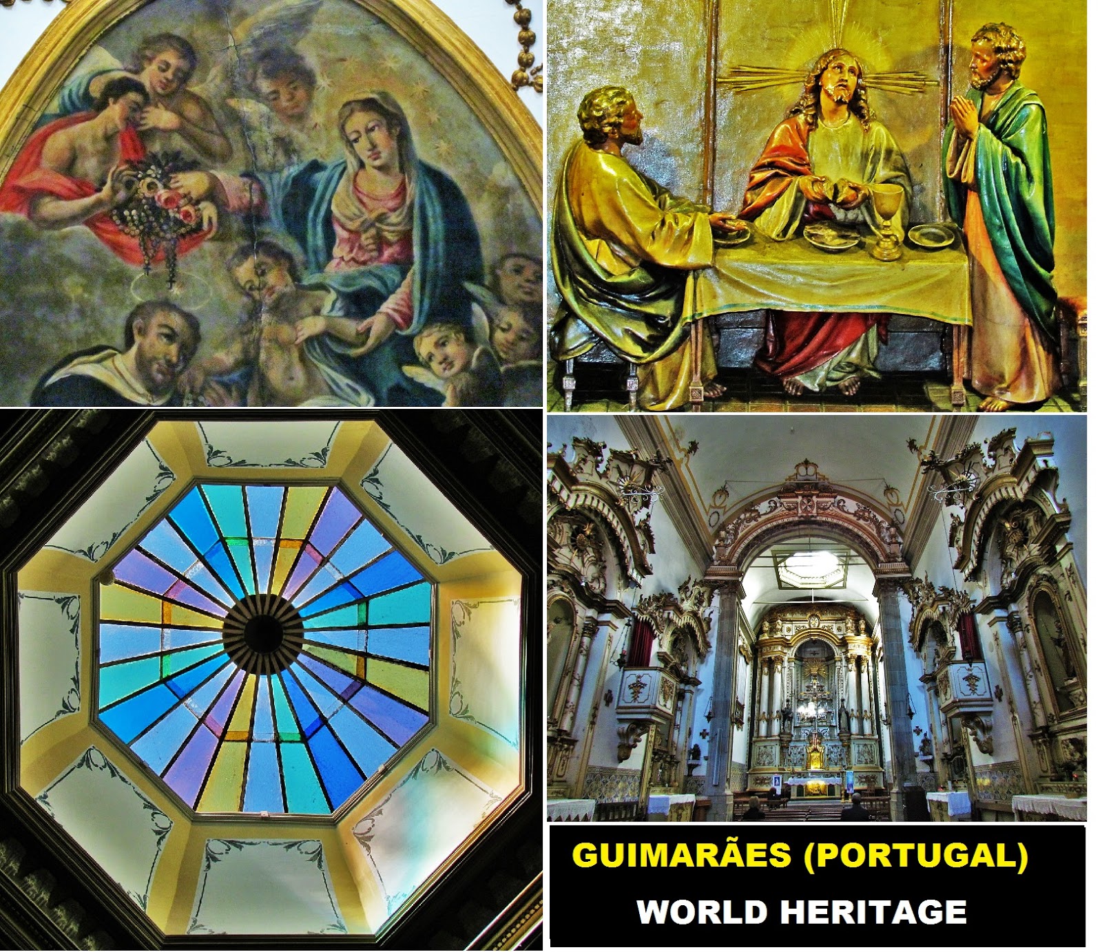
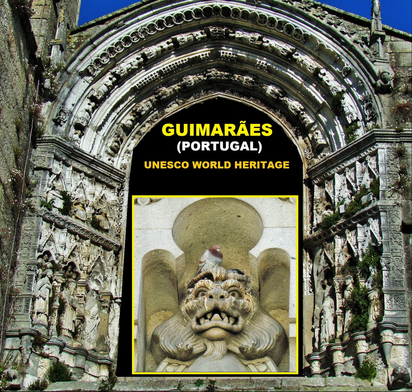
GUIMARÃES
WORLD HERITAGE
GPS N 41.4418; W 8.29563
It is the seat of a municipality with an area of 240.95 km² and 158 124 inhabitants (2011).
Guimarães is one of the most important historic cities in the country. Its historic center is considered a World Heritage Site, making it definitely one of the largest tourist centers in the region. Its streets and monuments breathe history and delight those who visit it.
The climate of the municipality is the Mediterranean. Framed between a valley and hills and being far from the coast, the winters are cold and rainy and the summer is hot and slightly humid, with an average annual temperature of 14º.
Economy
It has an intense economic activity, especially in the following activities: spinning and weaving of cotton and linen, cutlery, tanneries, trinkets and handicrafts (jewelry, earthenware and embroidery).
In the primary sector, the soil is mainly occupied by forage crops and temporary meadows, followed by cereal crops and vines. Unlike the Ave region, where permanent pastures and meadows occupy 3,529 hectares, in the municipality, only 54 hectares are occupied in the same way.
In the secondary sector, the Concelho is integrated into the Ave Valley, an area that has historically been characterized by its strong industrialization, namely in the manufacturing industry and the textile sector.